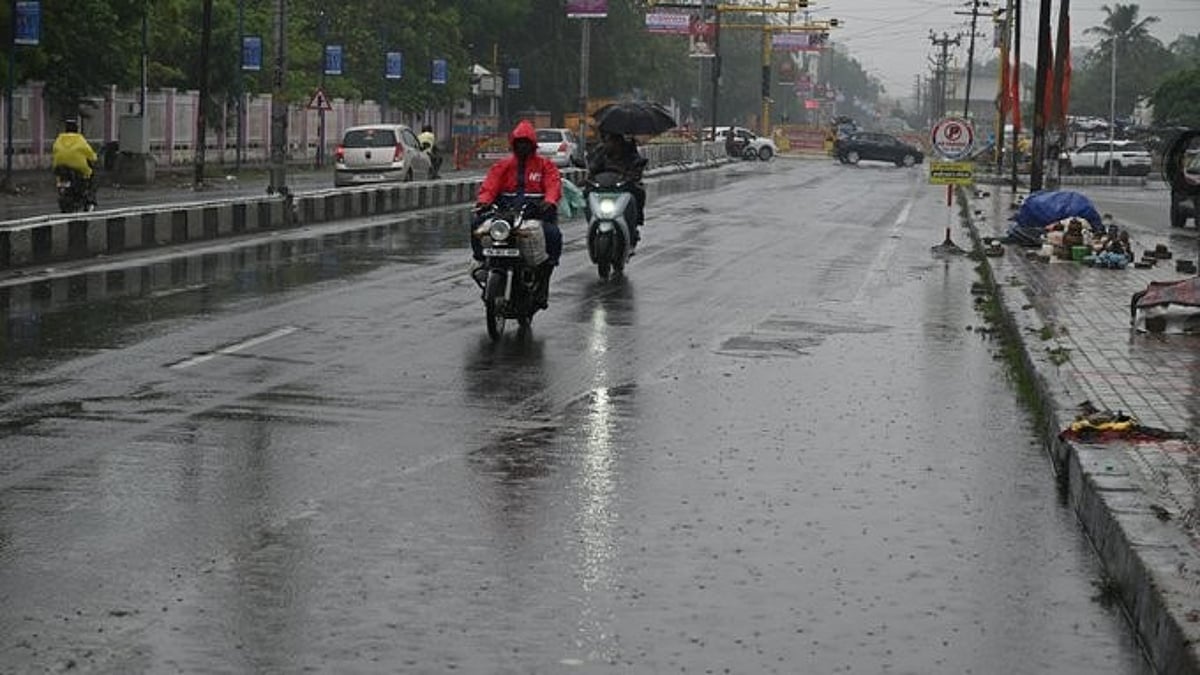
Chennai: The “Murasu” cyclone currently over the Bay of Bengal is expected to intensify into a severe cyclone and cross the Andhra coastal area around midnight tomorrow, the Chennai Meteorological Department has said. The department also said that when the cyclone makes landfall, strong gale-force winds could blow at speeds of up to 120 kmph, and as a result, there is a possibility of very heavy rain in Chennai and Tiruvallur districts tomorrow (Monday).
In a press release issued by the Chennai Meteorological Department in this regard, the deep depression that had prevailed over the southeast Bay of Bengal and the adjoining Andaman and Nicobar Islands and Andaman Sea areas moved northwestward and intensified into a depression.
Later, it further strengthened and moved northwestward, becoming a deep depression this morning, and then continued moving northwestward and intensified into Cyclone 'Murasu' over the southwest and adjoining central west areas. This cyclone may move westward or northwestward and strengthen into a severe cyclone over the central west Bay of Bengal areas.
It may move further westward or northwestward and cross the coast near Nellore and Narasapur along the coastal areas of southern Andhra Pradesh tomorrow (Nov. 2) around midnight or early the day after tomorrow.
As a result, in Tamil Nadu tomorrow (Nov. 2), Chennai and Tiruvallur districts may receive heavy to very heavy rainfall at one or two places, accompanied by thunder, lightning, and strong winds blowing at speeds of 40 to 50 km/h.
Heavy rain accompanied by thunder, lightning, and strong winds may occur at one or two places in Chengalpattu, Kanchipuram, Ranipet, Vellore, and Nilgiris districts. In addition, light to moderate rain accompanied by thunder, lightning, and strong winds may occur at a few places in the Western Ghats districts, at a few places in northern Tamil Nadu, and in Puducherry. Light rain may occur at a few places in the rest of Tamil Nadu.
On the 3rd, heavy rain accompanied by thunder, lightning, and strong winds may occur at one or two places in Nilgiris district. Moderate rain may occur at a few places in the Western Ghats districts and in northern Tamil Nadu, while light to moderate rain may occur at one or two places in the rest of Tamil Nadu.
Tomorrow, the sky over Chennai and the suburban areas will be partly cloudy. Heavy to very heavy rain accompanied by thunder and lightning is likely in some parts of the city.
According to the rainfall recorded in Tamil Nadu in the 24 hours ending at 8:30 a.m. today, the highest rainfall was recorded at Coonoor in Nilgiris district and Kanchipuram, with 7 cm each; Alagari Estate and Kothagiri Estate in Nilgiris district, with 5 cm each; and at Bhavanisagar, Sathyamangalam, and Gunderipallam in Erode district, Athur in Salem district, Poonamallee in Tiruvallur district, and Chengam in Tiruvannamalai district, with 2 cm each. It was stated.
Reason for the name of the storm 'Murasu': In accordance with the guidance of the World Meteorological Organization, 13 countries, including India, had proposed many names in 2020 for naming cyclones forming in the Bay of Bengal and the Arabian Sea. The World Meteorological Organization approved those names and released the list.
The cyclones that formed after that have been given names in sequence. Among them, the Tamil name recommended by the India Meteorological Department, 'Murasu', has now been assigned to the cyclone that has formed in the Bay of Bengal. In Tamil Nadu, during the era of ancient kings, the 'murasu' was beaten to announce war-like disasters, victories, and important news. It is noteworthy that this name was recommended to the India Meteorological Department by N. Puviyarasan, who was the director of the Chennai Meteorological Centre in 2020.